Discover what Red Eléctrica is, what we do, and why we are the backbone of the electricity system in Spain and the ecological transition.


, receives the certificate for the EFQM European Seal of Excellence 500+ from the Secretary General of the Club for Management Excellence (Club Excelencia en Gestión), Ignacio Babé")
- The Company renews its European Seal of Excellence 500+ and surpasses 700 points.
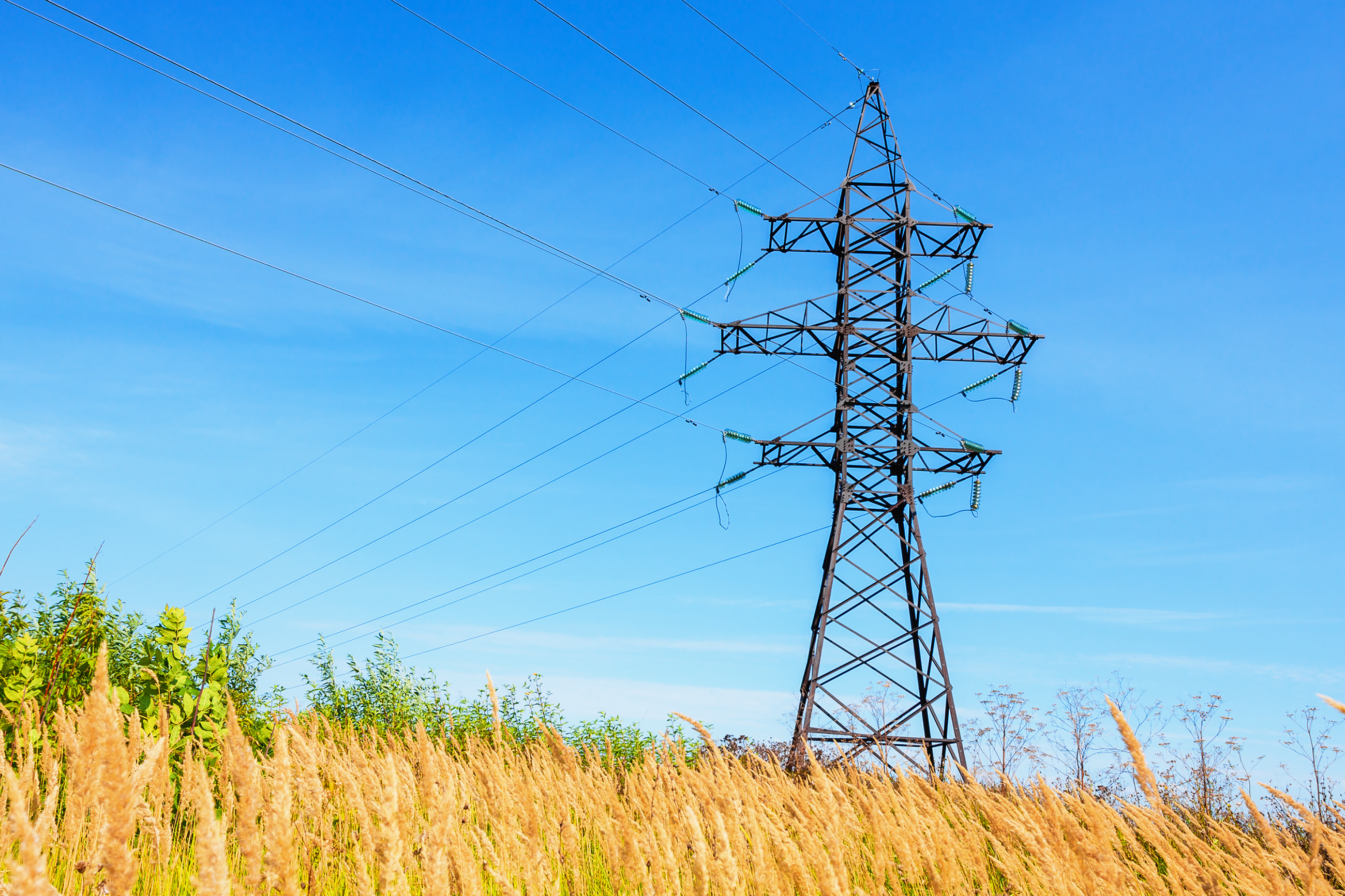
The demand for electrical energy on the Spanish peninsula in the month of January is estimated at 21,519 GWh, a value 5% less than that registered in the same month last year.


- prev
- next
The electricity consumption of large and medium-sized companies increased 1.8% in 2015 compared to the previous year, according to data from the Red Eléctrica Index (IRE).
For the first time, Red Eléctrica de España has been awarded the 'Gold Class' distinction in The Sustainability Yearbook, a report by RobecoSAM that recognises companies with best practices in corp
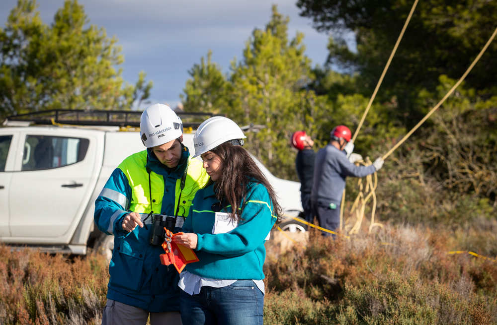
- The devices have been installed along the 2,100-metre overland stretch of the electricity interconnection line with Ibiza on the island of Formentera
- With
The adjustments required by the new internal structure that Red Eléctrica announced on 26 November have been made following the model of internal promotion already implemented for the senior manage
Red Eléctrica renews its organisational structure in order to facilitate compliance with the challenges set out in its new Strategic Plan and to further carry out the process of separating the func
The demand for electrical energy on the Spanish peninsula in the month of December is estimated at 20,871 GWh, a decrease of 2.1% with respect to the same month last year.
- Electricity consumption recovers in 2015 a positive growth rate that hadn’t been registered since 2010
- The Spanish Peninsula-Balearic Islands interconnecti